January 2020
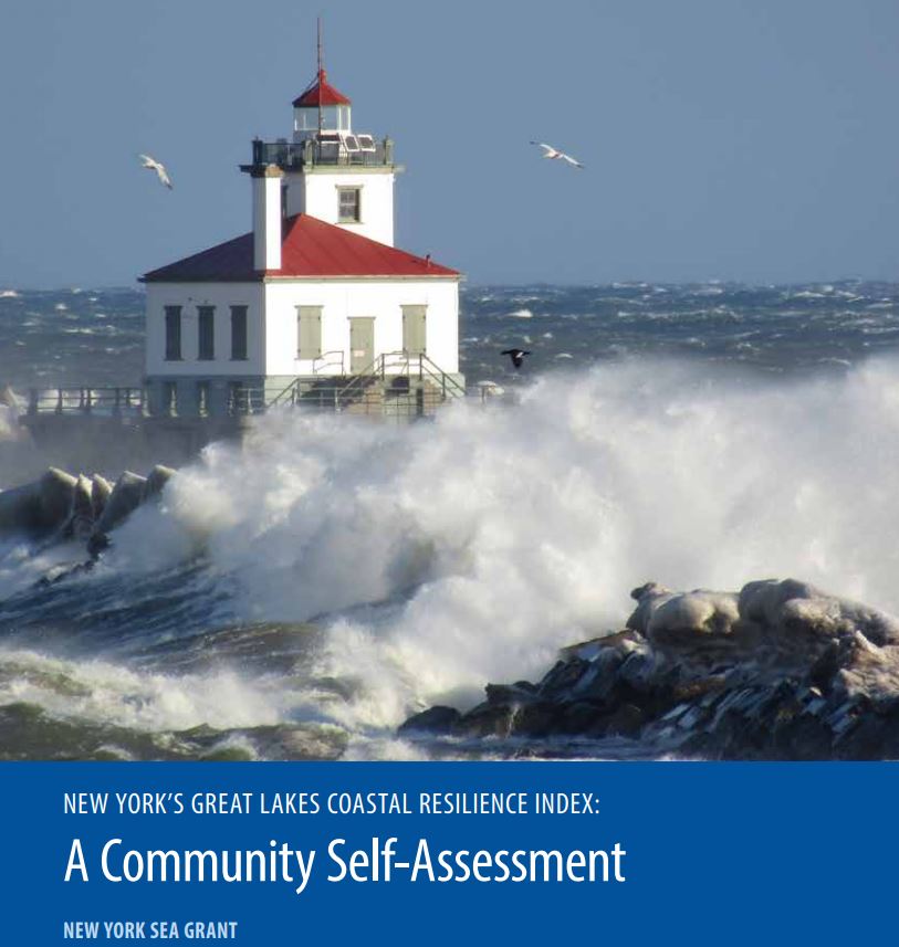
Great Lakes Coastal Resilience Index
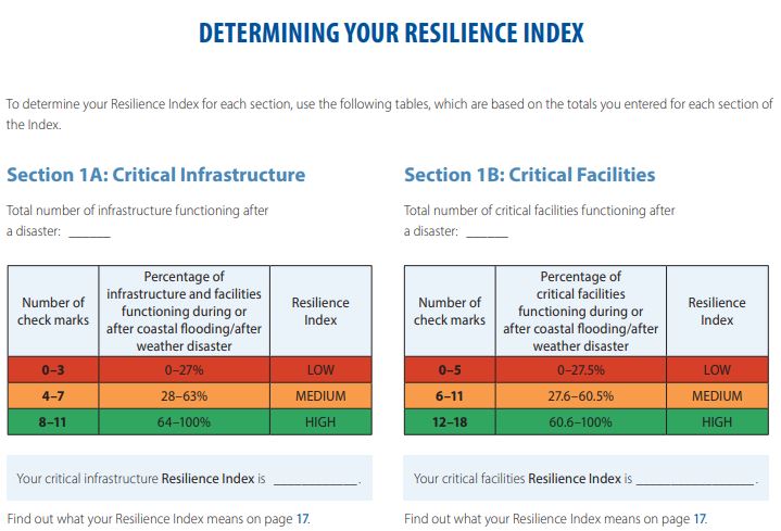
New York’s Great Lakes Coastal Resilience Index (CRI) is a self-assessment tool that was developed by the New York Sea Grant Institute. The CRI brings community leaders together and provides them with a simple method for identifying areas in which their community can be more resilient to coastal hazards such as coastal flooding and weather disasters. The CRI uses a “yes” or “no” question format to help community leaders investigate vulnerabilities across six sectors: critical facilities and infrastructure, transportation issues, community plans and agreements, mitigation measures, business plans, and social systems. This index can be completed using maps generated by the New York Sea Grant Institute in addition to other readily available information from existing sources within the community. After completing the self-assessment, a Resilience Index can be calculated which is an indicator of the community’s ability to reach and maintain an acceptable level of functioning and structure after a disaster. The self-assessment tool is available online and to download for free.

NY Sea Grant Community Self-Assessment https://seagrant.sunysb.edu/coastalcomm/pdfs/CCD-CoastalResiliencyIndex.pdf
Audience & Decision Support
This booklet is designed to help community leaders as well as experienced local planners, engineers, code enforcement officers, floodplain managers or administrators, and other relevant persons to assess coastal resilience issues that should be addressed in the community and determine where resources should be allocated. While the CRI focuses on coastal flooding and storms, it can be adapted to fit the needs of Lake Michigan coastal communities by including hazards such as coastal erosion. The step-by-step format helps community leaders assess six components of coastal resiliency to determine areas where resiliency to coastal hazards can be improved and to prioritize funding and projects. The CRI does not replace a detailed study, rather it encourages the community to seek further consultation on areas identified as being able to be more resilient.

NY Sea Grant Community Self-Assessment: resilience index form for critical infrastructure https://seagrant.sunysb.edu/coastalcomm/pdfs/CCD-CoastalResiliencyIndex.pdf


