


January 25, 2018
By David Hart, Assistant Director for Extension, Wisconsin Sea Grant
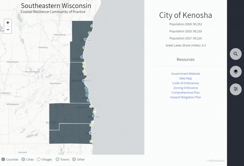
An interactive map has been developed that provides quick access to local government information about coastal resilience for communities in southeastern Wisconsin. By clicking on one of the 22 municipalities and 4 counties along the coast, one can access useful information including general government and mapping websites, comprehensive and hazard mitigation plans and relevant ordinances. The framework for this work was completed as part of the NOAA-funded Great Lakes Coastal Storms Program, and interactive maps were developed for Wisconsin and the Great Lakes region. The maps draw from information in Google Spreadsheets and code is shared through a GitHub site. Additional information and features will be added to the maps as the project moves forward.